
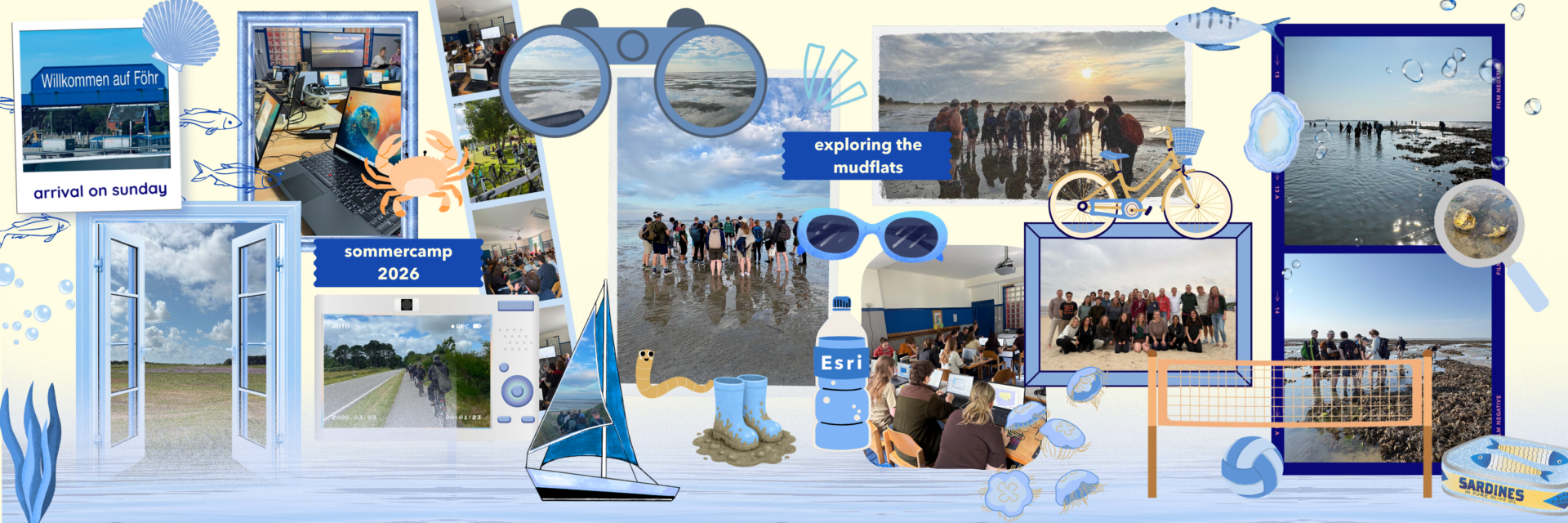
What happens when students from different countries come together with a shared passion for GIS and the Environment? The first international Esri Summer Camp provided the answer. The Camp returned to the northern German island Föhr this year for the 19th time. This time crossing national borders and welcoming a group of students from all over the world.
It was not only a special week for the participants but also for me personally. I just started my internship at Esri and had the opportunity to attend the Esri Summer Camp 2026 from two perspectives, as a participant and a supervisor.
Besides me, 23 students coming from 20 different universities in Europe attended this year, which was hosted by the Esri-Team, accompanied by Jörn Kohlus from the National Park Wadden Sea as well as Kay Werner (Charlottenburger Heim Wyk).
But what was this Esri Summer Camp about?
This years Esri Summer Camp combined GIS and Remote Sensing by combining hands-on fieldwork with theoretical workshops to analyze the complex structure of a Wadden Sea environment. Therefore all participants were equipped with Laptops, ArcGIS users, iPads and bicycles to both physically and digitally explore the island. Within 5 days, we got the chance to take part in 3 excursions, 10 ArcGIS workshops and 1 thematic workshop about the Wadden Sea.
Sunday – Monday
On Sunday we arrived on Föhr where we first met at the Hostel, settled in, explored the surroundings, and got to know each other during dinner and games.
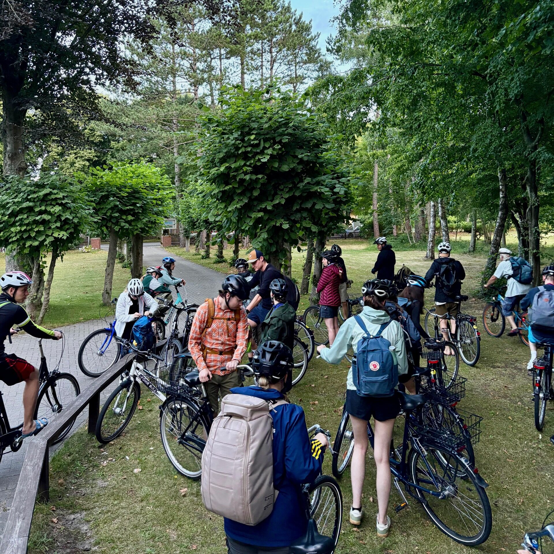
On Monday, we jumped right into the Esri-Universe. Our Esri-Team introduced the students to ArcGIS Online and ArcGIS Pro, providing the foundation for the week. Equipped with rented bicycles, we explored the island and collected our first field data with Survey123 and FieldMaps. Driving by bike was the perfect addition to the workshops that took place beforehand and let us enjoy the sunny weather. During the tour we stopped at multiple spots to get to know Föhr and its multifaceted landscape.
Tuesday – Wednesday
Tuesday was dedicated to learning and preparing the group projects that will be presented on Thursday. Participants gained insights into the diverse possibilities of modern GIS, through workshops on innovative approaches such as 3D Design, GeoAI, and Geospatial Imagery. During Jörns thematic workshop about the Wadden Sea, we additionally got fascinating insights into the unique ecosystem and the national park’s mission.
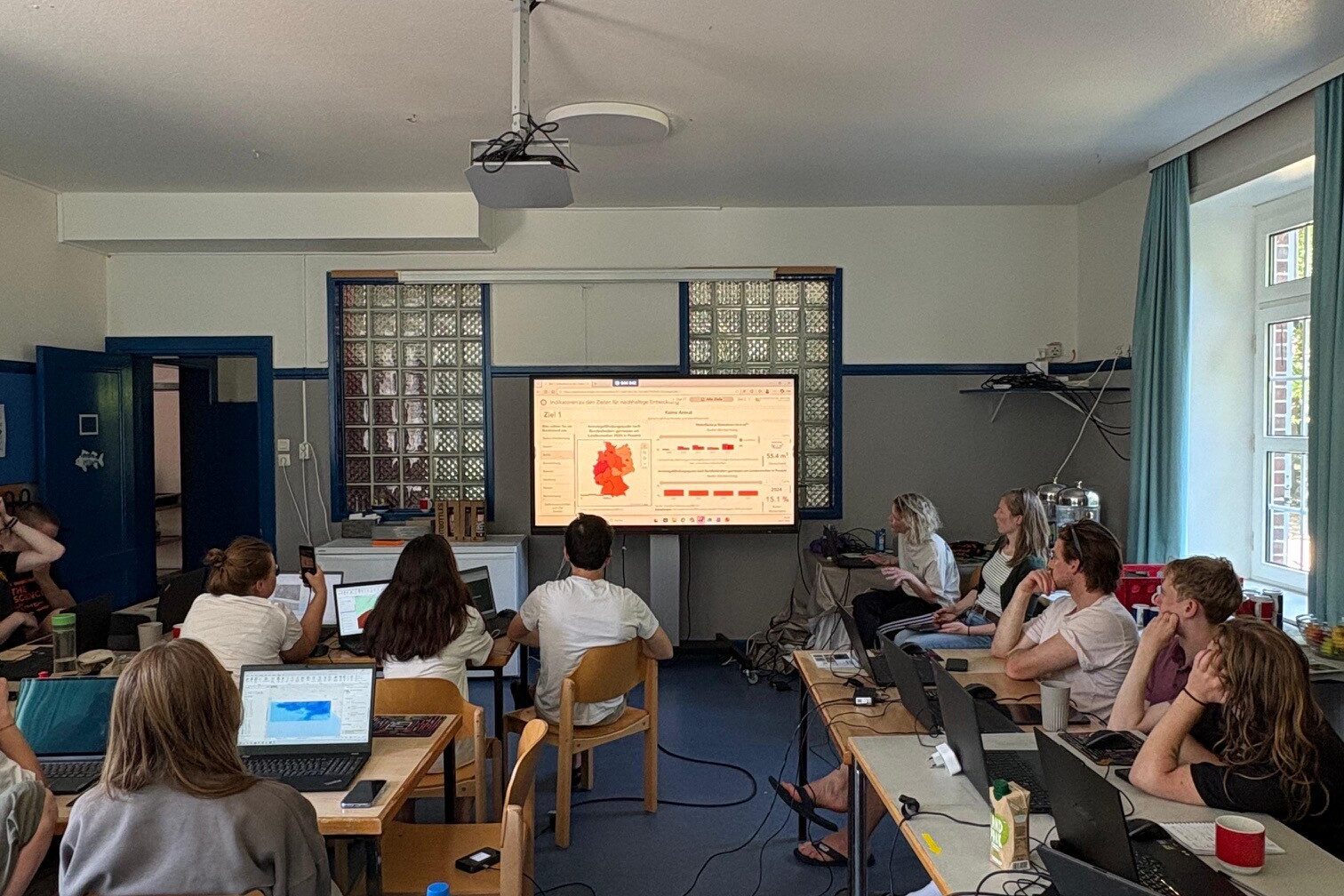
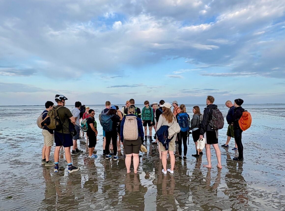
On Wednesday before lunchbreak, we had our exciting field trip to the mudflats, which was also accompanied by Jörn. We were divided into groups, with each group assigned to survey two sections of the seagrass trail. Using Field Maps and Survey123, we collected and mapped various components of the coastal wetland. With the help of Survey123, we mapped the density of seagrass meadows, and we had to distinguish between different types of algae and sediments, while also searching for microorganisms. In the afternoon we learned how to present our results in applications such as StoryMaps or Dashboards. Additionally, we got introduced to the topic “Reality Mapping – From images to Digital Twins” where ArcGIS Flight was presented.
Thursday – Friday
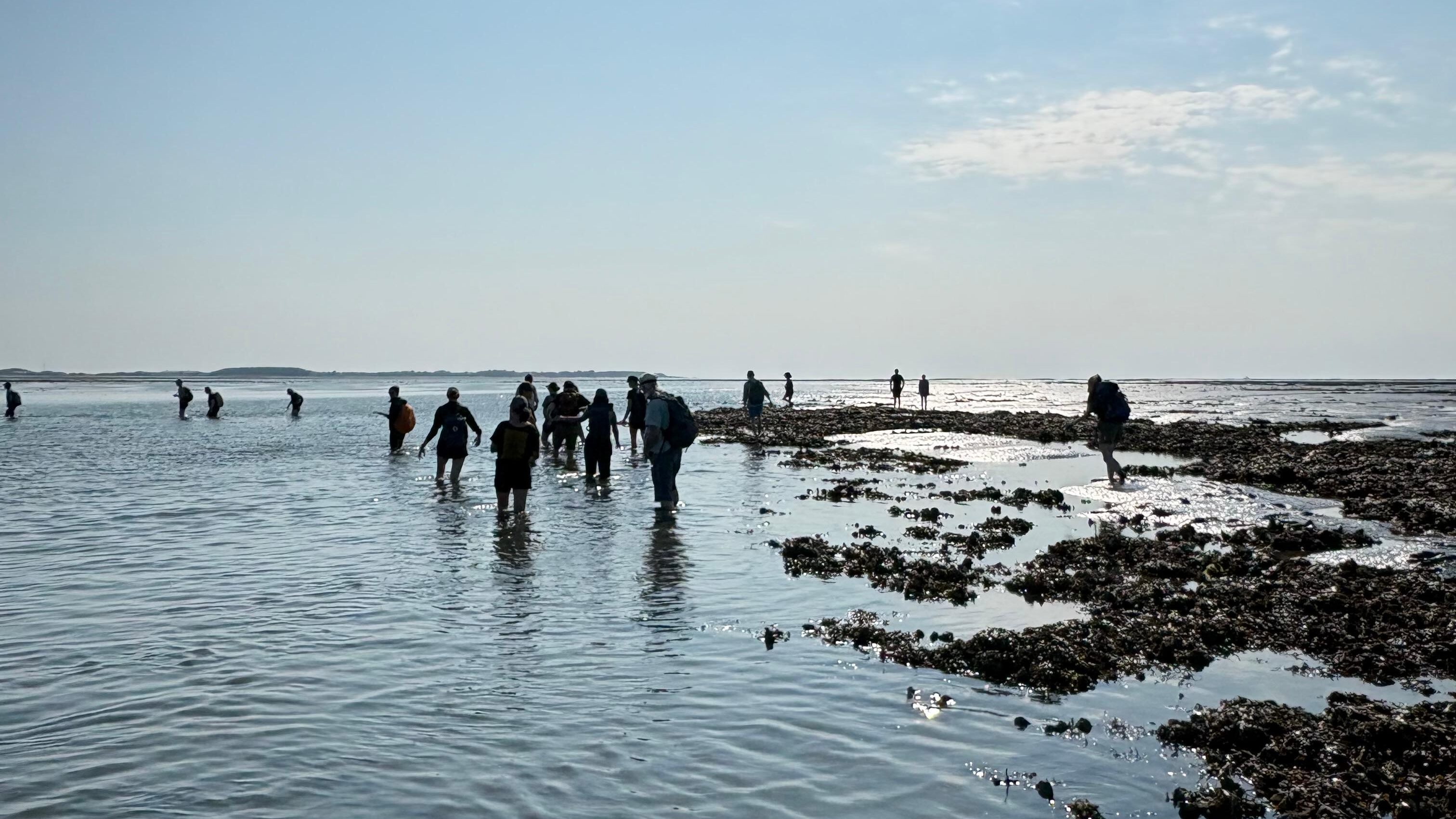
On Thursday the students had the opportunity to visit the Oyster beds on Föhr. The afternoon was meant to be used for finalizing our projects before all our groups presented their results. The used cases included a wide range of creative ideas, thoughtful research questions, and impressive geospatial analyses.
To help you experience and imagine what the Summer Camp was like, I would like to share a few ideas and results of the presentations. If you are interested there are several examples described below.
In the evening, we enjoyed an amazing barbecue prepared by Kay, the manager of our hostel. The food was incredible, with plenty of delicious vegan options, making sure there was something available for everyone.
On the departure day, Friday, we had a feedback session where we shared our thoughts and suggestions to help improve and further develop the camp for future participants – Maybe the next participant could be you!
Results
Three Towers on the Horizon: Viewshed of Föhr from an approaching Cog boat in the Middle ages
Claudiu and Nicolò explored the view of a Hanseatic cog approaching Föhr around 1450 by using open LiDAR data to create a geodesic viewshed.
Their idea was based on the assumption that, during the Middle Ages, the three medieval churches on Föhr played an important role in ship navigation. A cog sailing from Bremen through the Amrum Deep would likely see St. Johannis Church first, followed by St. Laurenti in the west, and finally St. Nicolai in the east as it approached its anchorage.
The results were presented as an animated video in ArcGIS Pro, showing how many church towers were visible from the lookout’s eye level. Yellow indicated that one tower was visible, orange showed two visible towers, and red indicated that all three towers could be seen.
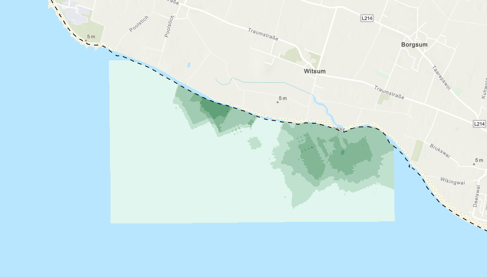
Spatial Distribution of Seagrass on Föhr
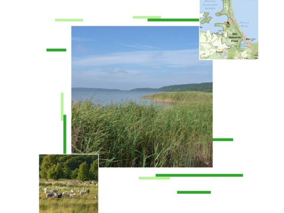
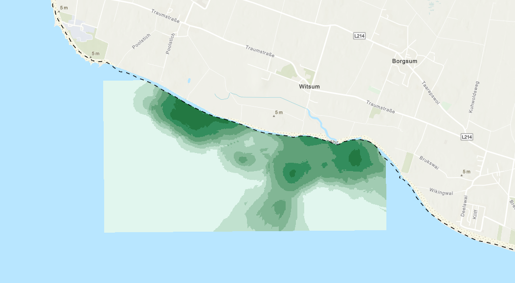
Kim and I analyzed the spatial distribution of seagrass on Föhr using data collected during previous Summer Camps. We decided to focus on seagrass because it is a key topic in the Wadden Sea area and has always been an important part of the Summer Camp in recent years.
Seagrass meadows support high biodiversity by providing important habitats and nursery grounds for a wide range of marine species, it plays a key role in climate regulation through carbon sequestration. It also helps to stabilize the seabed, and it reduces sediment erosion. So, we can see it is a vital coastal ecosystem.
To analyze the provided data, a Kriging interpolation was used to create a continuous surface from the measured points while taking spatial relationships into account. By comparing data from previous Summer Camps, it was possible to visualize changes in the seagrass population over time.
A big thank you!
To sum it up it was one week filled with plenty of workshops, fieldwork, muddy boots, new friendships, and of course ArcGIS. We all improved our skills, gained new perspectives, and created lasting memories of a week spent exploring both the Wadden Sea and the possibilities of GIS.
And for me personally, this week was also the beginning of my journey as an intern at Esri. Thank you for this amazing possibility and experience!
A big thank you to all participants, supervisors, and staff! Your enthusiasm, expertise, and dedication made this year’s Esri Summer Camp such a special and inspiring week. We are excited to see how the ideas, connections, and experiences from this week will continue to grow and inspire future projects with ArcGIS.
P.S.: There are rumors that a Summer Camp will be held again in 2027. Stay tuned! 😉
Creator: Michelle Junga