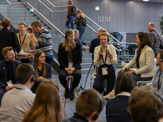
The Geogames team from the University of Bamberg, Germany, organizes a workshop on Geogames and playful Geodesign during the Unconference session at the EMEAUC Education GIS Conference in Munich.
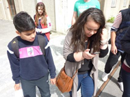
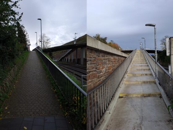
Introducing locomotion in outdoor environments such as an urban neighborhood or a natural park as a triggering game event, location-based games introduce an element that is missing in interactive console games. These games are particularly interesting for educational projects because they do not only connect the players socially but also with respect to the geographic environment. Starting in 2004, the Geogames team at the University of Bamberg, Germany, has studied and developed location-based games which are used in different educational scenarios (e.g. river ecology, cultural heritage). Currently the Geogames team is working on a “Geogames and Playful Geodesign” project funded by Esri Inc. It draws on our teams’ experience to develop prototypes of games and design tools based on Esri technology for two novel application scenarios:
(1) location-based games as a medium for education in spatial thinking
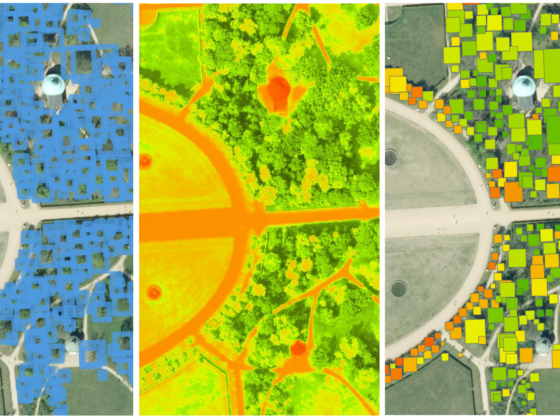
(2) playful activities as a medium for problem-solving in Geodesign
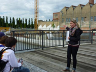
We will provide an overview of our Geogames research and the lessons we’ve learned since 2004. In particular we will concentrate on the ongoing cooperation with Esri. Furthermore we will demonstrate some of the Geogame prototypes already developed at the University of Bamberg. The demonstration will take place outside in terms of a real playing event!
We are looking forward to discuss and exchange ideas with you. We are curious about your ideas and opinions on how to enhance and apply different gamification concepts in fields like Geodesign, participatory GIS, education and tourism. Howewer, the workshop agenda is not limited to those topics, we are interested in a discussion about all GIS-related gamification topics!
If you would like to get more information about the Geogames project, please have a look at www.geogames-team.org or write an email to geogames@uni-bamberg.de. And stay tuned for any updates to the workshop agenda!
For more information, please contact Olga Yanenko olga.yanenko@uni-bamberg.de, author of this post.
– Anna Lena Schwieger, Account Manager, Team Education & Research, Esri Germany